Collaboration Between BPBD Bali Province and Udayana University in Strengthening Disaster Geospatial Data Management
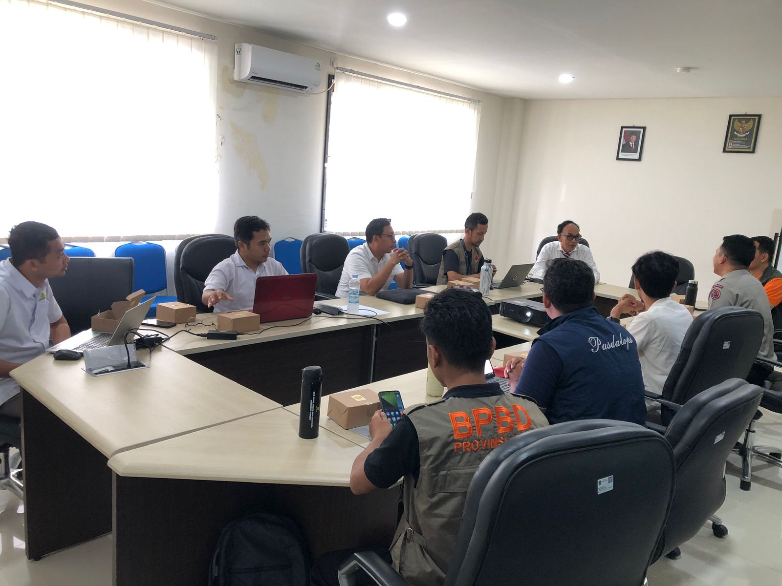
Badung, February 17, 2025 – In an effort to optimize the function of the Disaster Management Operation Control Center (Pusdalops PB) as a hub for disaster data and information, the Regional Disaster Management Agency (BPBD) of Bali Province conducted a visit to Udayana University (UNUD) in Jimbaran to coordinate disaster geospatial data management.
The initial discussion between lecturers from UNUD’s Faculty of Marine Affairs and Fisheries and the BPBD Bali team highlighted the importance of strengthening geospatial data management literacy as part of a technology-based disaster mitigation strategy. The meeting covered plans for developing the human resource capacity of BPBD through the preparation of a basic training syllabus and the organization of periodic workshops on Geographic Information Systems (GIS) for disaster management.
Furthermore, the discussion also opened opportunities for collaboration in geospatial data processing and applications, including the integration of remote sensing technology for disaster risk mapping. Through this collaboration, disaster data management in Bali Province is expected to become more effective, accurate, and scientifically based.
The BPBD Bali team members who attended the meeting included:
- Head of the Regional Disaster Control Unit, BPBD Bali Province
- Head of Operations Control Section at the Regional Disaster Control Unit, BPBD Bali Province
- First Expert Computer Administrator at the Regional Disaster Control Unit, BPBD Bali Province
- Coordinator of the Technical Team at the Regional Disaster Control Unit, BPBD Bali Province (1 representative)
- Administrator of the Regional Disaster Control Unit, BPBD Bali Province (1 representative)
- Representative of the Sub-national Program SIAP SIAGA Team Bali (1 representative)
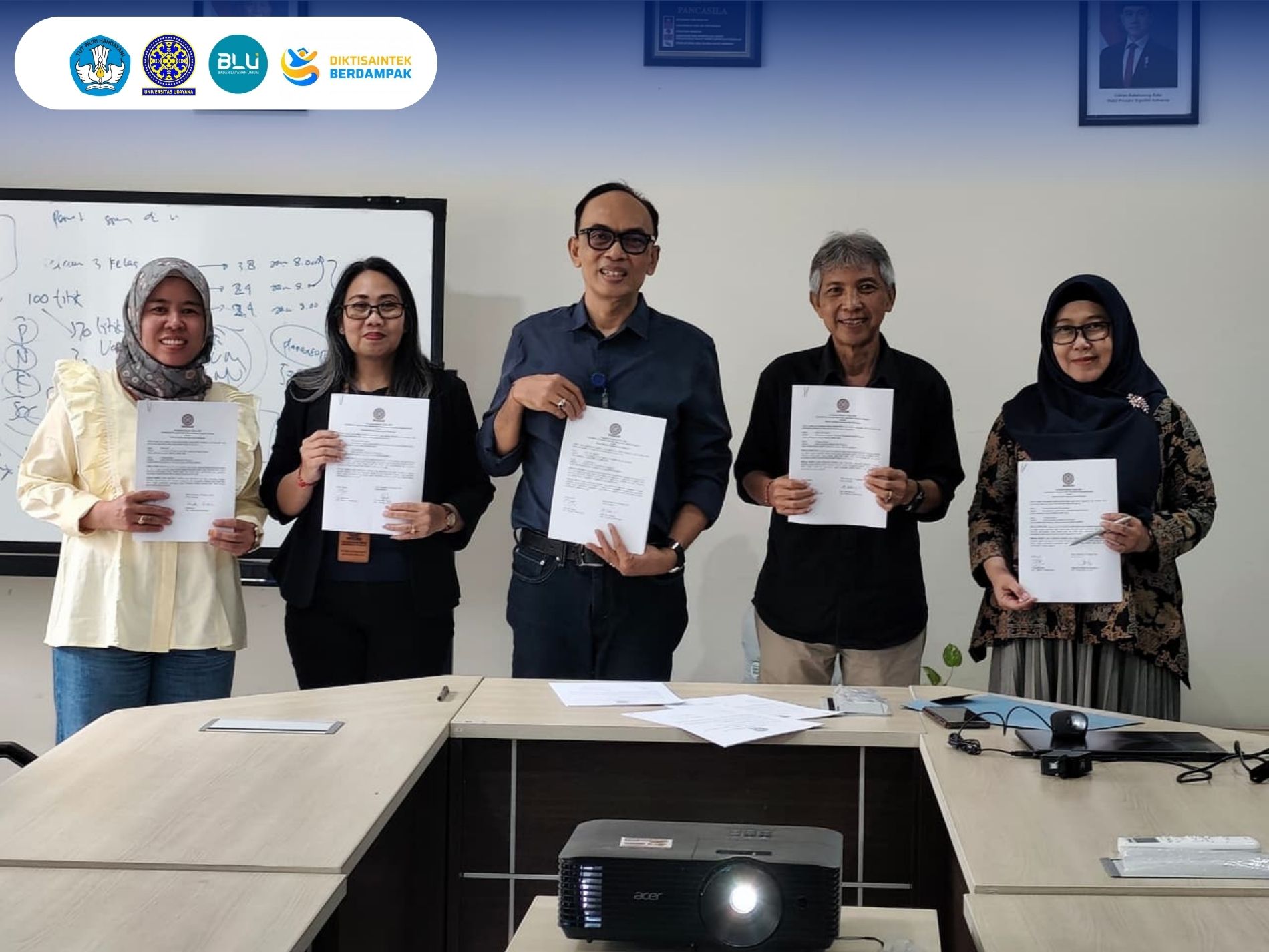
This activity marks a strategic first step in building synergy between academics and disaster management stakeholders in Bali. Moving forward, this collaboration is expected to continue and evolve into more comprehensive programs to enhance disaster preparedness based on reliable geospatial data.
 (8).jpg)
UDAYANA UNIVERSITY